

Avoid the Traffic! Here’s Your Guide to ASEAN Road Closures and Alternate Routes
Plan your trips accordingly.
by Ina Louise Manto | November 12, 2026
The Philippines is hosting the 49th Association of Southeast Asian Nations (ASEAN) Summit and Related Summits from November 15 to 18, 2026, in Pasay City, which will gather more than 20 heads of state and foreign delegates for diplomatic meetings. In line with this, the Metropolitan Manila Development Authority (MMDA) released road closures and alternate routes during the summit days to manage traffic flow. Here’s everything you need to know:
Which roads are closed during the ASEAN Summit?
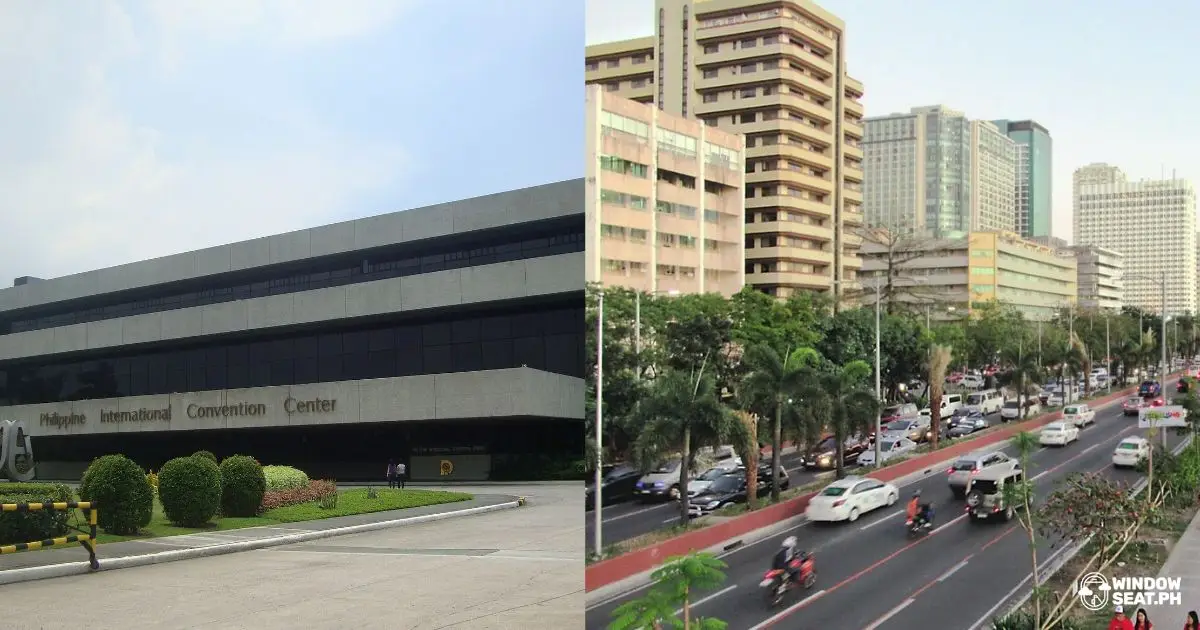
Most of the ASEAN Summit’s diplomatic meetings will be held at the Philippine International Convention Center (PICC), so strict security measures will be implemented around the area. These roads will be closed during the duration of the summit:
- Vicente Sotto St.
- Atang dela Rama St.
- Magdalena Jalandoni St.
- Pedro Bukaneg St.
What are the alternate roads during the ASEAN Summit?
The MMDA shared alternate routes for motorists driving along Roxas Blvd. going to Macapagal Road and Diokno Boulevard.
Southbound motorists may turn right onto EDSA, then turn right onto Diokno Boulevard and Macapagal Boulevard.
Meanwhile, Northbound motorists may turn right onto Seaside Boulevard, take another right onto Macapagal Boulevard, turn left onto EDSA, and another left onto Roxas Boulevard.
What are the truck routes during the ASEAN Summit?
For truck operators, the MMDA also shared the following truck routes for both northbound and southbound lanes:
Northbound
From the Port Area to North Diversion Road, truck operators driving from Pier Zone may travel along Road 10 and Capulong Street, head toward Raxabago St. and Yuseco St., then turn right onto F. Huertas and right again onto C3 to the destination.
Operators driving from North Diversion Road to the Port Area have two options:
- From A. Bonifacio St., turn right onto C3, and turn left onto R-10 to the Pier Zone
- From A. Bonifacio St., turn right onto Blumentritt, then left onto Aurora Avenue, H. Lacson Street. Head straight to Tayuman St., turn right onto Oroquieta St., then left onto Yuseco St. Go straight to Roxabago St., then to Capulong Street, and take a left onto R-10 to the Pier Zone.
Southbound
Drivers going from the Port Area to Pres. Sergio Osmeña Highway (South Superhighway) may take Bonifacio Drive, turn left onto P. Burgos Road, then to Finance Road. Drive straight to Ayala Blvd., then turn right onto Marcelino, left onto Pres. Quirino Ave., right onto Osmeña Highway.
Those driving from Pres. Quirino Highway to Port Area (South Pier) may turn right onto President Quirino Ave. (Plaza Dilao), turn left onto United Nations Ave., turn right onto Romualdez Street, then left onto Ayala, Finance Road, another left onto P. Burgos St., then right onto Bonifacio Drive to Pier South.
Lastly, drivers coming from Pres. Quirino Highway to Manila North Harbor may take Pres.Osemena Highway, turn right onto Pres. Quirino Avenue, and head straight to Nagtahan, A. H. Lacson St. Turn right onto Yuseco, then continue straight to Raxabago St., then straight to Capulong St. Finally, turn left onto Road 10 to Pier North.
Plan your trips accordingly! For more updates and information, follow the MMDA online.
Follow Windowseat.ph on Facebook, Instagram, and Tiktok for more relevant guides and information for better travel and commute experiences!